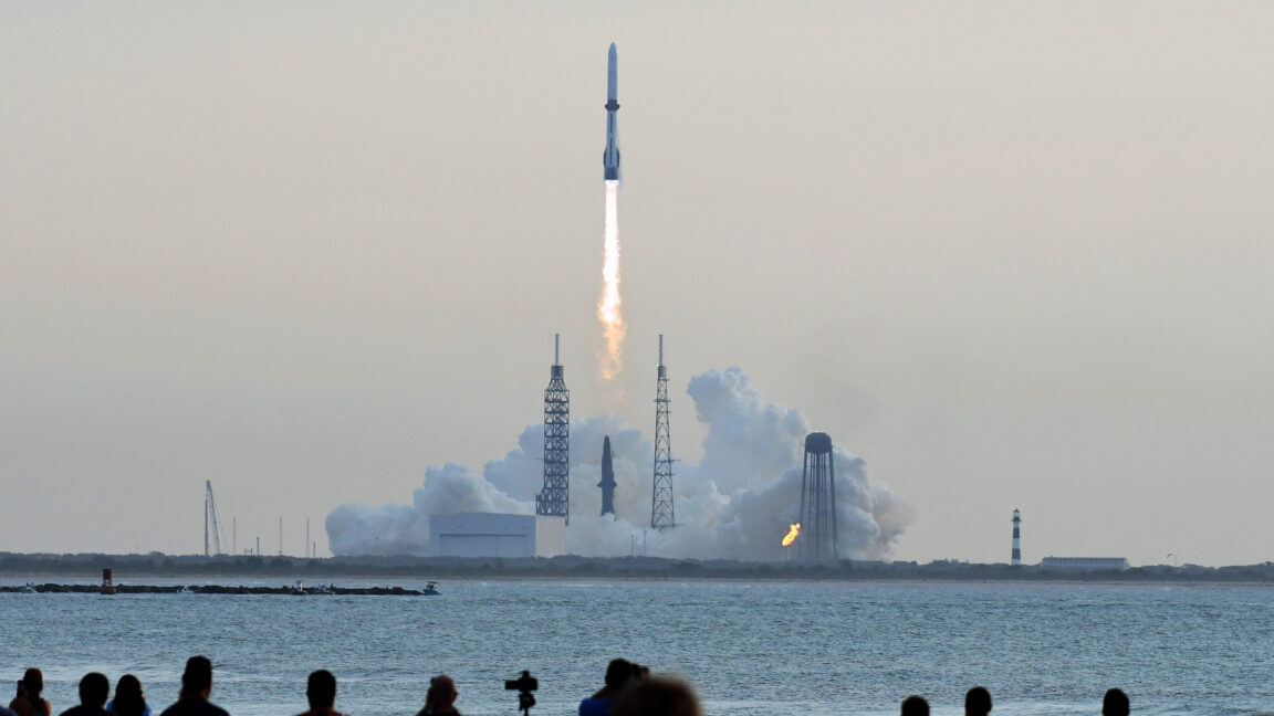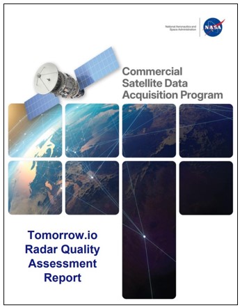
The boundary between government-led Earth observation and the private space sector continues to blur as NASA’s Commercial Satellite Data Acquisition (CSDA) program formalizes the utility of commercial weather sensors. In a quality assessment report issued March 9, 2026, NASA experts confirmed that precipitation radar data from Tomorrow.io’s R1 and R2 satellites meet the rigorous standards required for agency-level scientific research.
The evaluation focused on the Ka-band Precipitation Radars, a sophisticated sensor suite designed to provide high-resolution vertical profiles of rain and snow. NASA’s subject matter experts scrutinized the company’s Level 2 precipitation products and geolocation accuracy, seeking to determine if the commercial data could reliably supplement the agency’s own long-standing orbital missions.
The findings were notably consistent with Tomorrow.io’s internal benchmarks. The report highlighted an "excellent correlation" of 0.98 between the satellite’s geolocation data and digital elevation models, suggesting a high degree of spatial precision. By validating these commercial streams, NASA effectively expands its atmospheric toolkit, integrating private-sector agility into the broader infrastructure of global climate and weather monitoring.
With reporting from NASA Breaking News.
Source · NASA Breaking News