We occupy a planet where the majority of the surface remains a cartographic ghost. According to data from the National Oceanic and Atmospheric Administration (NOAA), less than 25 percent of the ocean floor has been mapped with any meaningful precision. The figure is striking not for what it reveals about the ocean, but for what it reveals about the allocation of human ambition. Decades into an era of orbital telescopes, planetary rovers, and high-resolution imagery of distant galaxies, the terrain directly beneath the world's shipping lanes remains less understood than the surface of Mars.
This gap in terrestrial knowledge is not a matter of negligence, but of physics. The deep ocean is an environment defined by absolute darkness and pressures capable of pulverizing standard industrial equipment, turning the simple act of observation into a high-stakes engineering feat. Where space exploration contends with vacuum and radiation, ocean exploration faces the inverse problem: an environment so dense and opaque that it resists nearly every tool designed to penetrate it.
The physics of inaccessibility
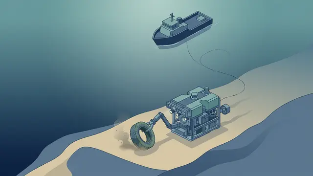
The technological requirements for deep-sea exploration are among the most demanding in applied science. To reach the seabed, instruments must withstand forces that increase by one atmosphere for every ten meters of descent. At the bottom of the Mariana Trench — the deepest known point on Earth — pressure exceeds 1,000 atmospheres. This necessitates a reliance on highly specialized robotics and sensors that can operate in a void where radio waves cannot travel. Acoustic signals, the primary communication method underwater, move slowly and degrade over distance, imposing hard limits on data transmission rates and real-time control.
While satellite imagery can provide a rough estimate of the ocean's topography by measuring variations in sea-surface height caused by gravitational pull from underwater features, true high-resolution mapping requires physical proximity. That means deploying sonar-equipped autonomous underwater vehicles (AUVs) or remotely operated vehicles (ROVs) that crawl methodically across the seabed — a slow, iterative process that covers relatively small areas per mission. The contrast with satellite-based land mapping, which can survey entire continents in days, is instructive. The ocean does not yield to observation at scale.
International initiatives have attempted to accelerate the timeline. The Nippon Foundation-GEBCO Seabed 2030 project, launched with the goal of producing a comprehensive map of the ocean floor, represents the most ambitious coordinated effort to date. Yet even with growing participation from research institutions and private-sector partners, the sheer volume of unmapped terrain — hundreds of millions of square kilometers — makes the undertaking more comparable to a generational infrastructure project than a single scientific campaign.
The economics of the abyss
Beyond the material challenges lies the sheer economic friction of maritime missions. A single deep-sea research vessel can cost tens of thousands of dollars per day to operate, and the specialized vehicles it deploys carry their own fabrication and maintenance costs. Deep-sea exploration is an expensive, logistically complex endeavor that often lacks the immediate commercial or political incentives that have historically propelled space programs. Space exploration benefits from a powerful narrative engine — national prestige, defense applications, the promise of extraterrestrial resources — that ocean science has struggled to match in the competition for public funding.
There are, however, forces that could shift the calculus. Growing interest in deep-sea mineral deposits, including polymetallic nodules containing manganese, nickel, and cobalt, has drawn commercial attention to the seabed. The expansion of submarine telecommunications infrastructure and offshore energy installations also creates pragmatic demand for better bathymetric data. Whether these commercial incentives will prove sufficient to fund mapping at the necessary scale, or whether they will concentrate survey efforts only in economically attractive zones, remains an open question.
Progress is being made, but it is measured in increments. The ocean floor sits at the intersection of competing constraints: the physics that make access difficult, the economics that make comprehensive survey expensive, and the political dynamics that determine where institutional attention flows. Until those forces align — or until a technological discontinuity dramatically lowers the cost of underwater sensing — the bottom of the ocean will remain the largest unmapped territory on the planet, and the most conspicuous gap in humanity's knowledge of its own home.
With reporting from Olhar Digital.
Source · Olhar Digital