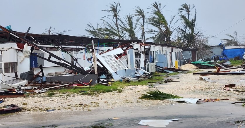
Super Typhoon Sinlaku, the most powerful storm of 2026 to date, tore through the Commonwealth of the Northern Mariana Islands (CNMI) this week, bringing 185-mph winds and catastrophic flooding to the western Pacific. The Category 5 system — the highest classification on the Saffir-Simpson scale — first struck Chuuk in the Federated States of Micronesia before moving north toward Saipan and Tinian. For the archipelago's 50,000 residents, including the Indigenous Chamorro and Carolinian communities, the storm severed electricity, water, and cellular service for days, isolating communities already separated from mainland supply chains by thousands of miles of open ocean.
While the Mariana Islands are no strangers to tropical cyclones, Sinlaku's behavior was an anomaly. Residents reported a storm that seemed to stall, lingering for more than 48 hours and subjecting homes to relentless battering. The path mirrored that of Super Typhoon Yutu, which decimated the region eight years ago, yet the timing is what has meteorologists and locals most concerned: Sinlaku arrived in April, at least two months before the typical peak of the western Pacific typhoon season, which historically runs from July through November.
The Erosion of the Off-Season
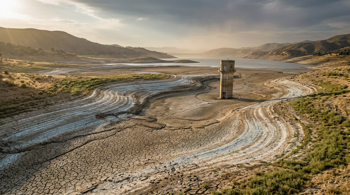
The western Pacific basin is the most active tropical cyclone region on Earth, generating roughly a third of all named storms each year. Historically, the months between January and May offered a reprieve — a window for infrastructure repair, supply restocking, and community preparation. Sinlaku's April landfall at Category 5 intensity challenges that assumption in a way that carries material consequences for disaster planning.
The phenomenon is not entirely without precedent. Over the past decade, several Pacific cyclones have formed or intensified outside traditional seasonal windows, a pattern climate scientists have linked to elevated sea-surface temperatures. Warmer ocean water provides the thermodynamic fuel that allows tropical disturbances to organize and strengthen rapidly. When that warmth persists year-round rather than cycling seasonally, the conditions for high-intensity storms extend into months once considered safe. The result is a compression of the recovery window — less time between destructive events, and less predictability about when the next one will arrive.
For the CNMI, this compression is not abstract. The territory is still contending with the long tail of damage from Yutu in 2018, which caused widespread destruction to housing stock and infrastructure that, in some areas, was never fully rebuilt. Federal disaster recovery timelines for remote U.S. territories have historically stretched years beyond those for mainland communities, a disparity rooted in logistical complexity and funding allocation patterns. A shortening of the interval between major storms means recovery efforts risk being interrupted before they are complete.
Small Islands, Structural Exposure
The Mariana Islands sit at the intersection of two forces that amplify climate risk: geographic remoteness and limited fiscal capacity. The CNMI is a U.S. commonwealth, which grants its residents access to federal disaster assistance, but the mechanics of that access — shipping timelines, FEMA deployment logistics, congressional appropriations — are calibrated for a continental scale. Small island territories face a structural mismatch between the speed at which damage accumulates and the speed at which aid arrives.
This dynamic is shared across much of the Pacific. Low-lying island nations and territories from Micronesia to the Marshall Islands confront similar exposure, and the question of how to harden infrastructure against storms that are growing both stronger and less predictable remains largely unresolved. Conventional approaches — building codes, seawalls, emergency reserves — assume a degree of seasonal regularity that events like Sinlaku call into question.
Sinlaku's stalling behavior compounded the damage in ways that wind speed alone does not capture. A storm that lingers for 48 hours subjects structures to fatigue loading — repeated stress cycles that degrade materials even if no single gust exceeds design thresholds. Duration, in other words, is its own category of destructive force, and one that standard storm ratings do not fully convey.
The traditional concept of a "peak season" has long served as the organizing principle for disaster preparedness in cyclone-prone regions: governments pre-position supplies, insurers adjust reserves, communities board windows. When a Category 5 storm arrives two months early and refuses to move on, that principle loses its utility. What replaces it — continuous readiness, redesigned infrastructure, relocated populations — remains a set of questions without consensus answers, and ones the residents of the Mariana Islands are now living through in real time.
With reporting from Grist.
Source · Grist